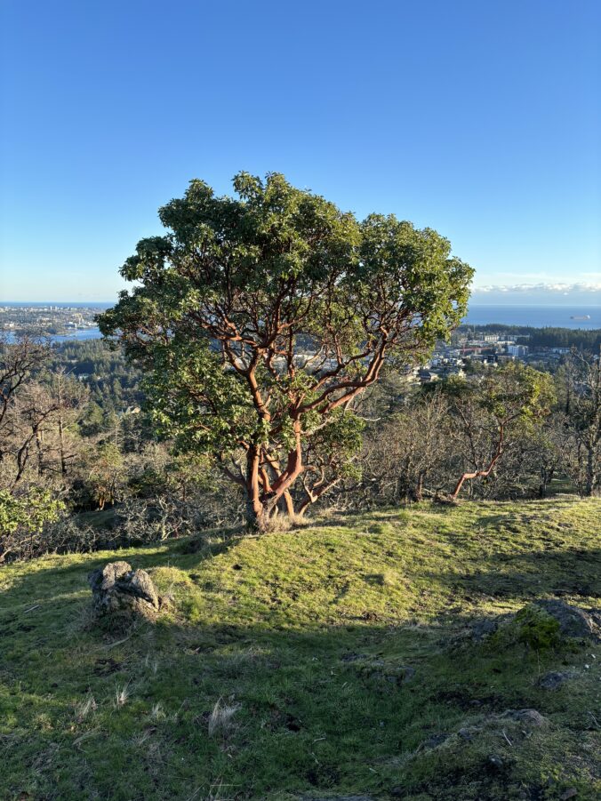
This past week I have been working on organizing my upcoming adventures. For this upcoming week I have planned to do a hike on the PKOLS/Mount Douglas trails. I was hoping to do this hike this week but I was not able to, so instead I wanted to plan ahead. This hike is very familiar to me, but I am hoping to take a new route and have some people join me. I plan to use the app All Trails to identify the trails. According to All Trails there are 15 posted routes I can choose from. I want to use the trails and not the main road (Churchill Drive) for this hike since I love being in nature. This hike is expected to take about 1.5 hours. I am hoping to either bring my phone or a camera to document the hike through photos. I would like to bring my camera since I have not used a camera in a very long time and would love to redevelop my photography skills. While I wait for appropriate weather, I am looking forward to planning hikes for the month of October in new locations across the lower island!
Here is a map of all the trails on PKOLS/Mount Douglas for you to check out!
Most parks have these trail maps which are useful for identifying trail names.
In the link below you can find a quick glimpse at the news story about the name restoration that took place in 2022. This name restoration returned the title of PKOLS to Mount Douglas.
