Experience New Things

Category: Free Inquiry

This is the category to apply to your Free Inquiry posts.

The End

My free inquiry journey has come to an end. During my hiking free inquiry I learned lots about, prep, planning and technology. At the start of this process I had never made or used my own website/blog. Overall, I really enjoyed blogging journey and is something I would love to look a bit further into outside of a course setting. The app I used throughout was All Trails which was very helpful for planning the hikes and trails. Throughout the process I used my phone and tried to use a camera for images of the hikes. This really brought back my love for photography.

This experience has taught me a lot about pre planning. I was not able to make it out for as many hikes as I planned, for varying circumstances. In the future I might choose something different even though it’s something I enjoy. Unfortunately, the weather during these months was not amazing for hiking. I would love to do this process again during some warmer less rainy months. When I was not able to hike I was able to research and learn about the hikes on the island and their habitats, ecosystems and Indigenous significance. In the end, I still love hiking and nature even though the free inquiry process did not go as expected. The outdoors and environment is something I want to incorporate into my future in education!

Out and about in the Rain

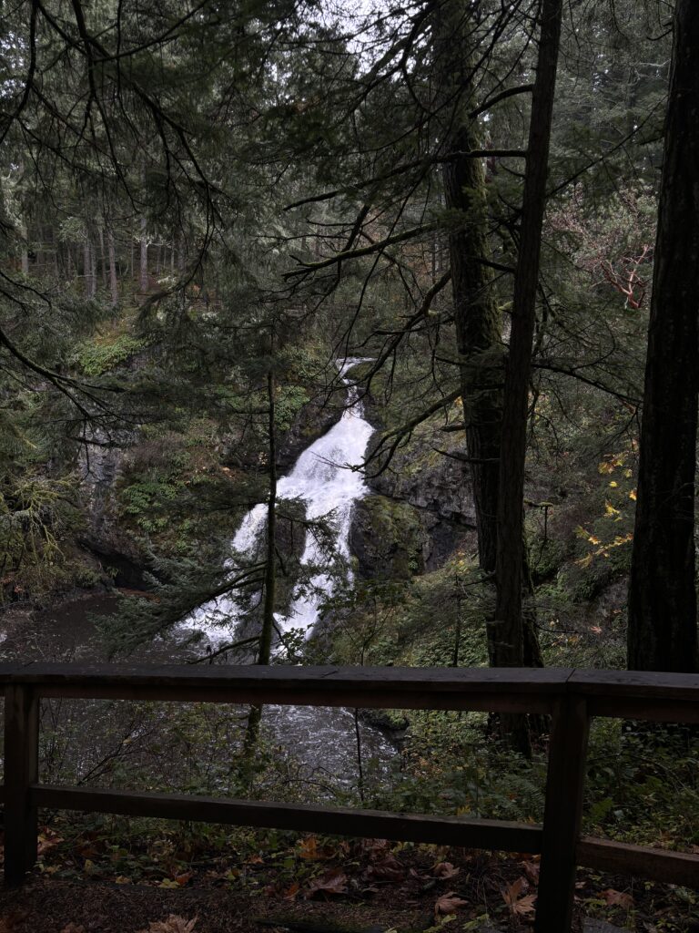
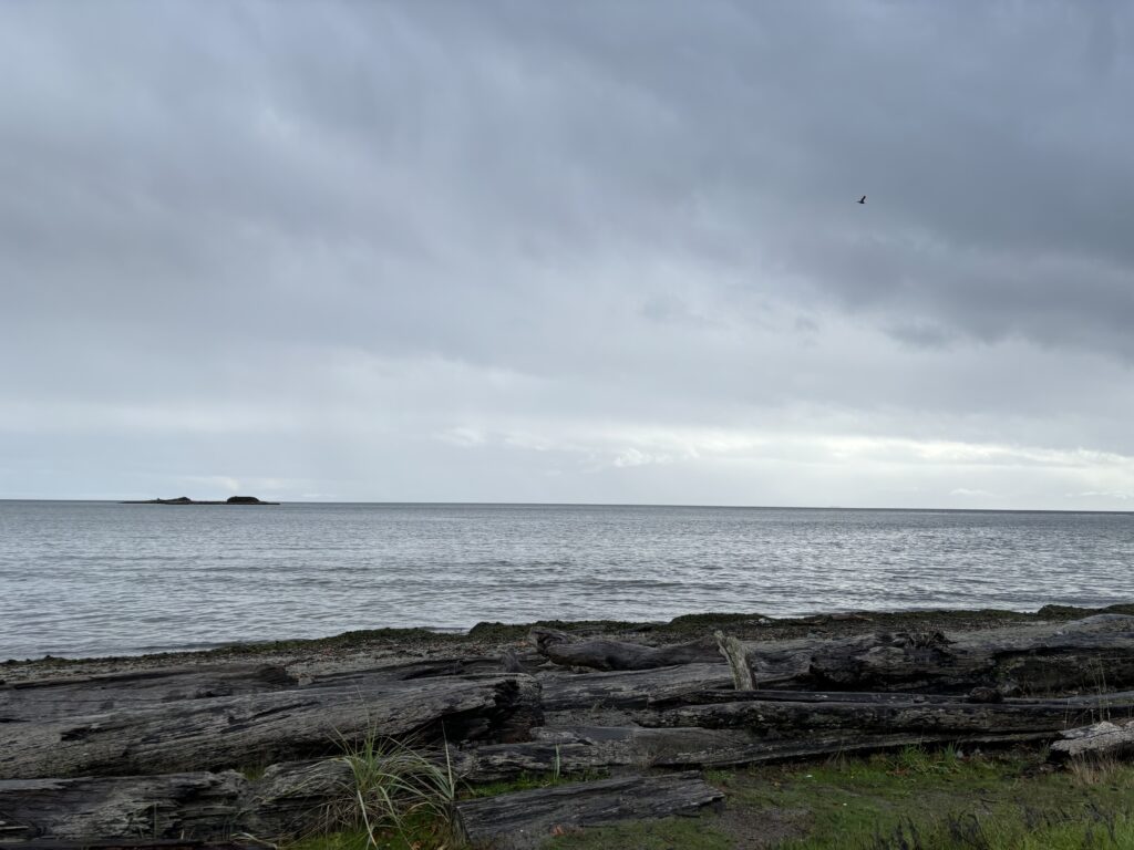
This weekend I was finally able to make it out for a hike, it was rainy a bit but not as bad as the previous weekends. I went out to Metchosin to do a small hike/trail to Sitting Lady Falls and Witty’s Lagoon. It was a beautiful trail that I have not done in a very long time. It’s normally very busy in the summer since Witty’s Lagoon is a popular spot since you are able to walk out when the tide is out. It was nice to go with the beautiful fall scenery and weather since it’s not as busy. One thing that has come to my attention during this free inquiry is the impact of weather on my progress. I absolutely love the outdoors and that is one of the main reasons I chose this topic. I think in my excitement I forgot about the fall/winter weather we get here on the island, which is funny since I have lived here my whole life.

A picture of sitting lady falls
This is called Sitting Lady Falls since the rock formation with the water running over somewhat represents a sitting lady. – Google search “why is it called sitting lady falls”, Image taken by Kate Carnwell
Witty’s Lagoon. Image take by Kate Carnwell
The sound of water. Video recorded by Kate Carnwell

Resources

Bad Weather Strikes Again

This past weekend yet again the weather did not allow for a hike. Vancouver Island and the mainland experienced an atmospheric river, so I was unable to make it out for a hike on the weekend. For this post I wanted to look at different hikes on Vancouver Island. A trail that really caught my interest was the Vancouver Island Trail. This trail is the longest trail on Vancouver Island, it is 800km long and split into 7 sections. It runs from south Victoria to Cape Scott. This hike is time-consuming and can take up to 2 months to complete, so you must make sure you are well prepared for this hike. When hiking this trail, you will pass through many traditional territories. You will also be able to experience the beautiful flora and fauna Vancouver Island has. This hike is most definitely a dream hike of mine and I hope to one day get to it! 

Here are some resources for the Vancouver Island Trail

This website has all the trail information you will need

Here is a great YouTube series by Krysta Norwick. She is currently hiking the Vancouver Island Trail from Cape Scott to South Victoria (Oak Bay)

Up Next

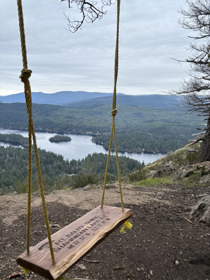
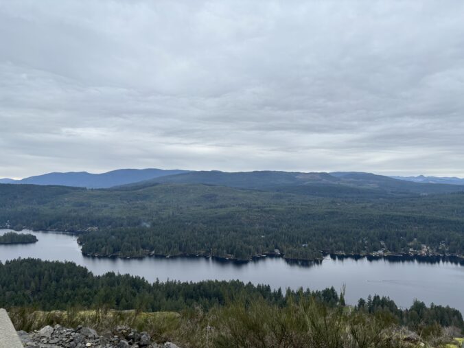
Unfortunately, due to the hustle and bustle of the Thanksgiving long weekend and the weather I was unable to make it out for my trail walk/hike. So instead, this post will be dedacated to my upcoming hike. This coming weekend if the weather permits, I will be doing one of my favourite hikes, Old Baldy Mountain. This hike has one standard route/loop that you can start from either end of the trail. A tip from my first time doing this hike is that the trail further down the road is very steep compared to the other end which comes first when driving. This hike has a beautiful view of Shawnigan Lake along the way and all the surrounding area when you reach the top. One of my favourite features is there is a swing just before you reach the top which overlooks the lake.  

This is not a hike I plan to do alone and would do alone. There is wildlife, which could pose danger to you since you are in their habitat. I recommend finding a buddy or group to do this hike with. When time for this hike comes around if my group is unable to make it, I will be staying local and doing the Thetis loop like I planned for this weekend.  

Resources

Here is the link for Old Baldy Mountain trail on All Trails

Let the Hikes Begin!

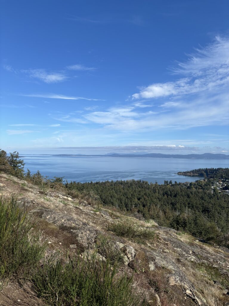
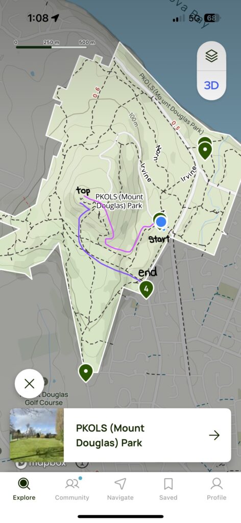
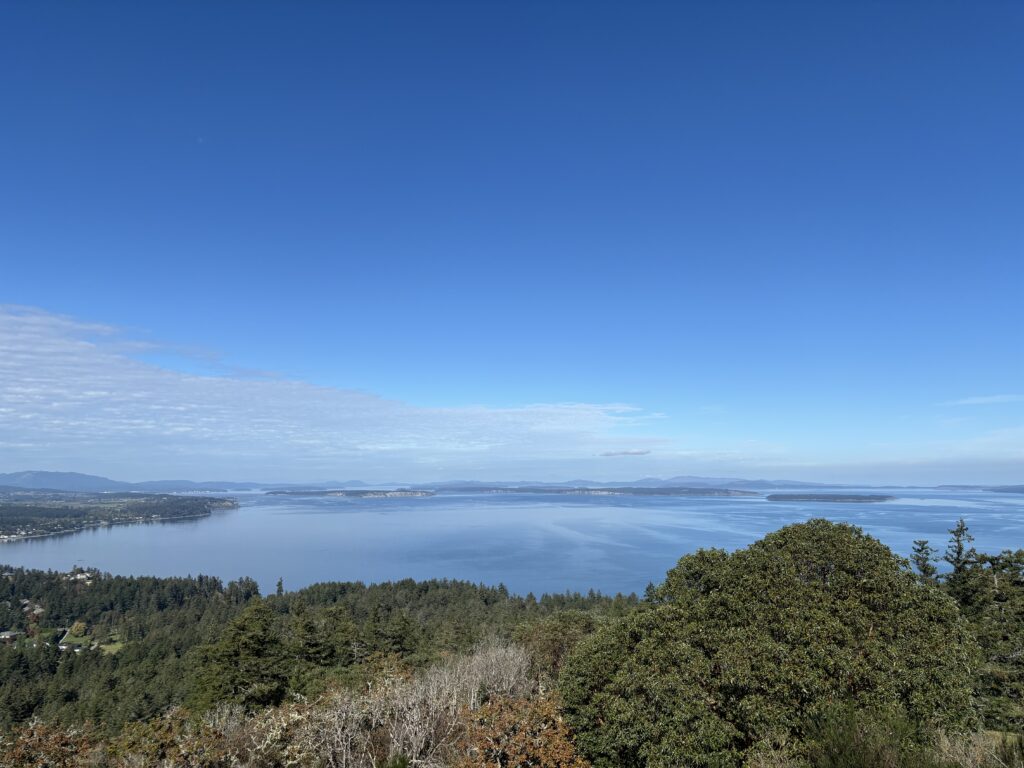
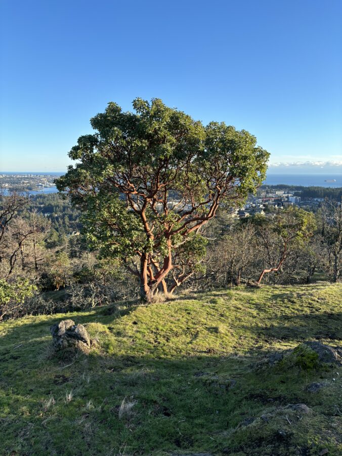
This week I was finally able to start my Free Inquiry process! I completed the planned hike from my previous post about my Free Inquiry. On Sunday I did a trail hike on PKOLS/Mount Doug. I used All Trails to pick what route I wanted to take; this time I took Norn – Harrop – South Ridge – Summit then on the way back I took Summit – Glendenning – Whittaker. This was a beautiful hike with great views all around, you could even see UVic from the South Ridge trail. During this hike I did find out how steep some of the trails were which I did not know before, so it was nice to test out some new routes. I was able to take photos and videos on my phone of the scenery as well as some birds flying overhead. I would recommend this hike as there are so many trail options which can make it more accessible. Over the long weekend I plan to take it steady and do a simple trail walk near me, which I am excited to document in my next post!

Resources

Here is the route I took!

Find below the link to a video of turkey vultures flying near me, on the South Ridge Trail

https://share.icloud.com/photos/0f7sgpS3ZEpnQGh4qiFgdm7OQ

Here is a link that talks about PKOLS/Mount Dougs endangered ecosystem. When hiking remember to stay on designated trails and clean up after yourself to help protect the surrounding environment.

Planning ahead!

This past week I have been working on organizing my upcoming adventures. For this upcoming week I have planned to do a hike on the PKOLS/Mount Douglas trails. I was hoping to do this hike this week but I was not able to, so instead I wanted to plan ahead. This hike is very familiar to me, but I am hoping to take a new route and have some people join me. I plan to use the app All Trails to identify the trails. According to All Trails there are 15 posted routes I can choose from. I want to use the trails and not the main road (Churchill Drive) for this hike since I love being in nature. This hike is expected to take about 1.5 hours. I am hoping to either bring my phone or a camera to document the hike through photos. I would like to bring my camera since I have not used a camera in a very long time and would love to redevelop my photography skills. While I wait for appropriate weather, I am looking forward to planning hikes for the month of October in new locations across the lower island!

Here is a map of all the trails on PKOLS/Mount Douglas for you to check out! 

Most parks have these trail maps which are useful for identifying trail names.

https://www.saanich.ca/assets/Parks~Recreation~and~Community~Services/Documents/Parks-Mount-Douglas.pdf

In the link below you can find a quick glimpse at the news story about the name restoration that took place in 2022. This name restoration returned the title of PKOLS to Mount Douglas.

https://www.saanichnews.com/news/reclaim-the-name-saanich-park-to-return-to-its-indigenous-title-pkols-319006

Welcome to my Free Inquiry

For my free inquiry I am hoping to explore different hiking trails around the lower part of Vancouver Island. I currently do not have many trails picked but I am hoping to do a few new ones along with ones I have done previously throughout the semester. For my free inquiry I plan to use different apps targeted for hiking. These apps will show me different trails within a hike and places to explore. I am planning to evaluate different apps based on how they supported me during the hike but also what content is available on me on the app without paying a premium.  

I haven’t started my inquiry process quite yet, but I hope to start hiking soon. I am currently looking through the variety of apps that are offered on the app store. I am thinking of starting with a trail I know such as (PKOLS) Mount Douglas to start my journey then throughout the semester venturing out to new hiking locations. I am extremely excited to get started and start exploring.  

Here are two websites to learn a bit more about (PKOLS) Mount Douglas! These websites show the park itself but also the significance this land has to the Indigenous peoples.  

https://www.saanich.ca/EN/main/parks-recreation-community/parks/parks-trails-amenities/signature-parks/mount-douglas-park.html

https://wsanec.com/pkols-mount-douglas-park-restored-as-new-official-name-of-mount-douglas-park/

Mount Douglas Park. https://www.saanich.ca. (n.d.-a). https://www.saanich.ca/EN/main/parks-recreation-community/parks/parks-trails-amenities/signature-parks/mount-douglas-park.html 

“PKOLS (mount douglas park)” restored as official name of Mount Douglas Park. (n.d.). https://wsanec.com/pkols-mount-douglas-park-restored-as-new-official-name-of-mount-douglas-park/